Map not loading? Visit our Main Interactive Map. For best performance and experience, use the latest web browser version of Microsoft Edge or Firefox. We are currently troubleshooting technical issues with Chrome.
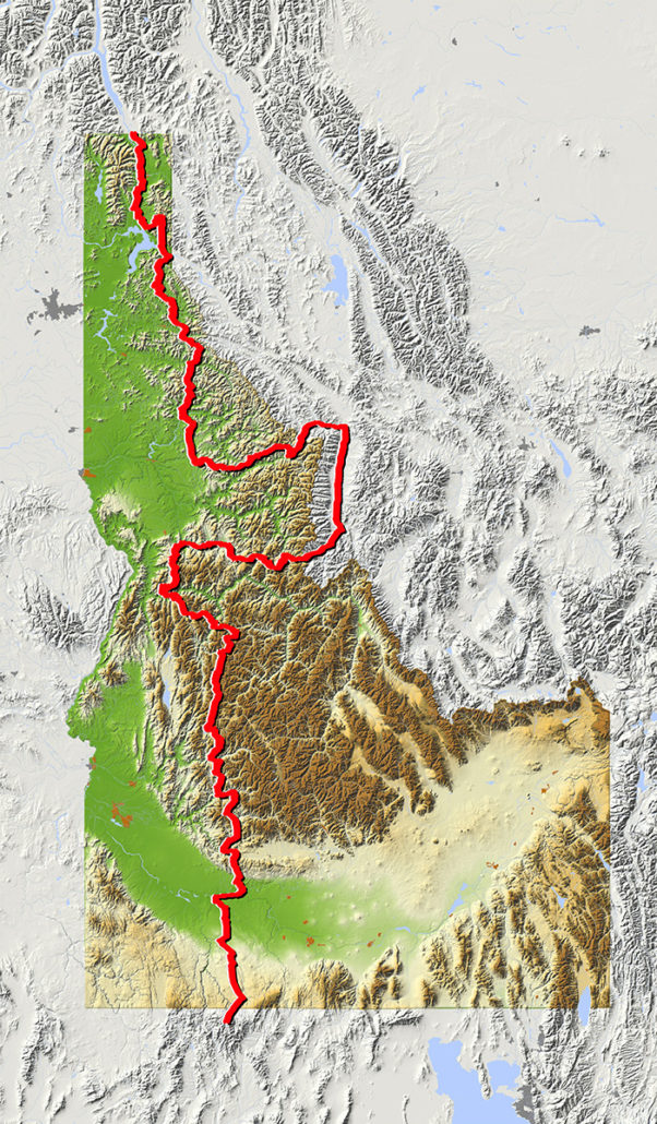
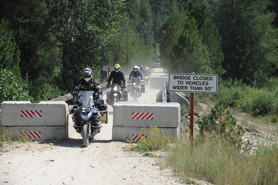
If you’ve ever wanted to ride endless twisty mountain roads, the Idaho BDR will throw corners at you for days on end. You also won’t get many digital interruptions because your cell phone won’t have reception on much of this route. It’s a true off- the-grid ride that is long enough, at 1,250 miles, that you might just use up an entire rear knobby tire.
Starting in the historic town of Jarbidge, NV the route crosses range lands and then heads into the Boise National Forest and treats riders with views of Andersen reservoir and epic alpine camping at Trinity lakes. Tiny towns and treasures like Burgdorf Hot Springs make this a bucket list ride for sure. You’ll travel where Lewis and Clark made history and experience the legendary Magruder Corridor and Lolo Motorway which skirt the roadless Selway-Bitteroot Wilderness. You will reach modest hints of civilization as you pass through Sandpoint, Bonners Ferry on your way to the Canadian Border.
Best time of year: July though October are ideal. Late June can be nice if the snow has melted from the high passes. Watch out for early snow and hunters if you are going in the fall.
The IDBDR project is presented by the Idaho Department of Commerce – Tourism Development, and Big Twin Motorcycles, Idaho’s premiere motorcycle dealership, and the official dealer of the IDBDR.
IDBDR – SECTION DESCRIPTIONS
Section 1: Jarbidge NV to Glenns Ferry - 111 Miles
Section 1: Jarbidge NV to Glenns Ferry – 111 Miles
The IDBDR begins just south of the Idaho border in the historical mining town of Jarbidge, NV. Plan on staying the night in Jarbidge and hanging out with the locals. The ride north out of the canyon follows a crystal clear creek on straight gravel roads past the Saylon Creek Air Force Range before before winding its way up to the dry desert of southern Idaho to Glenns Ferry.
Section 2: Glenns Ferry to Lowman - 156 Miles
Section 2: Glenns Ferry to Lowman – 156 Miles
After blazing through the prairie, Pine is located just north of the lake and features gas, a convenience store, and lodging opportunities and is the only place to fill up until Lowman.
Just north of Pine the route begins a dramatic climb into the Boise National Forest and a much different Idaho begins to take shape past Anderson Ranch Reservoir.
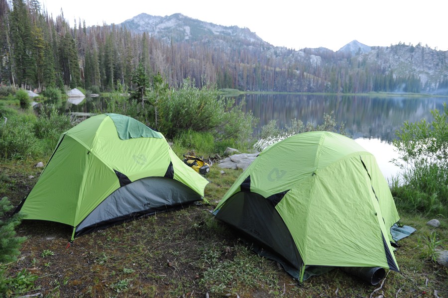
From here, the ride is scenic but slightly grueling with relentlessly twisty gravel roads experienced in section one making way to jagged mountains and alpine lakes. Trinity Lake is a must stop for a rest, grab one of the managed campsites along the water’s which require plenty of focus.
WARNING – The ride to the Trinity Lookout Tower is for experts only. What you see from the gate is a great example of spectacular 360 degree views. The road features loose rocks and a handful of tight switchbacks. Park your bike below the tower and hike a few hundred feet up for great views.
Section 3: Lowman to Yellow Pine - 93 Miles
Section 3: Lowman to Yellow Pine – 93 Miles
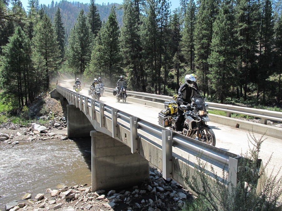
Leaving Lowman, the scenery only gets better through endless forested roads abundant with creekside camping opportunities including Deadwood Reservoir and Warm Lake.
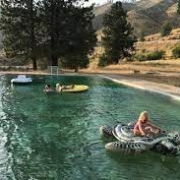
Any other time of year you’ll be among a handful of friendly outdoorsmen who use Yellow Pine as the jumping off point for exploring this remote area of Idaho. The small village of Yellow Pine is a true highlight of the trip. If you happen to be here the first week of August make a point to experience the Yellow Pine Harmonica Festival. You’ll find just about everything you need to stock up on food and provisions at the small general store in the heart of town.
Section 4: Yellow Pine to Elk City - 205 Miles
Section 4: Yellow Pine to Elk City – 205 Miles
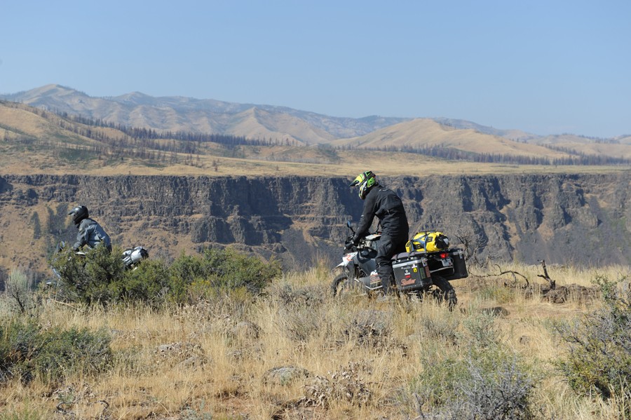
You are now in the heart of Idaho’s backcountry along the edge of the Frank Church River of No Return Wilderness. The roads are much like what you experienced further south but there are a few incredibly interesting places that make this section of the BDR extremely unique.
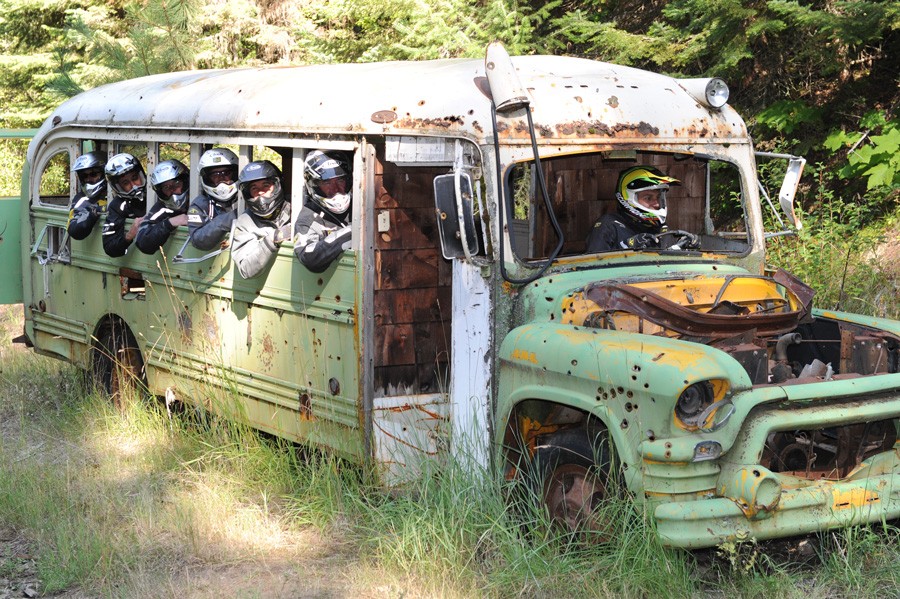
The small mining town of Warren has been around since the mid 1800’s and has plenty of historic relics to remind you of how life was over 150 years ago. Keep an eye out for the old abandoned school bus before you wind down the incredible switchbacks of French Creek Grade to the Salmon River.
After crossing the historic Manning Bridge, detour into Riggins for fuel or lodging if needed, before riding a mix of pavement and meandering dirt roads to the small town of Elk CIty, the western portal to the Magruder Corridor.
Section 5: Elk City to Lolo MT - 175 Miles
Section 5: Elk City to Lolo MT – 175 Miles
This is the Idaho you’ve always dreamed about: moose, wolves, elk and dramatic vistas. The Magruder Corridor itself runs from the Red River Ranger Station east of Elk CIty to Darby, MT and splits the Selway-Bitterroot and Frank Church wilderness. Little has changed on the road since it was built in the 1930s. The road surface itself is not particularly challenging in dry conditions; however, there are no services for over 120 miles and very few people around for help. Expect to take six to eight hours without stopping, but we recommend taking your time to explore the historical spots along the way. The corridor is typically open from July through September. After reaching civilization in Darby, there is roughly 50 miles of pavement to Lolo and plenty of fuel and lodging options along the way.
Section 6: Lolo MT to Pierce - 150 Miles
Section 6: Lolo MT to Pierce – 150 Miles
Say goodbye to Montana before you turn onto the famous Lolo Pass and head back into Idaho. The segment from Lolo to Lochsa Lodge is as good as you’ll find anywhere. Lochsa Lodge has a great restaurant and cabins for rent to regroup before tackling the infamous Lolo Motorway.
The Lolo Motorway follows the path used by the Nez Perce Indians to reach buffalo hunting grounds on the Great Plains. It was also used by Lewis and Clark during their quest to find an inland waterway to the west in 1805. The forest road you’ll be riding is not particularly challenging but is very remote with limited bailouts. Take your time to stop and explore the dozens of historically significant spots along the way.
Section 7: Pierce to Wallace - 127 Miles
Section 7: Pierce to Wallace – 127 Miles
You’ve entered the Idaho panhandle and are in for a real treat. The towns in section 7 are some of the quaintest in the state, so take the time to wander around. A true highlight of the entire IDBDR route is the Blue Heaven Cabin. This small cabin is privately owned, so take a photo to remember this special place and be on your way.
Just north of Avery there are two route options: one goes through the old railroad tunnels on a wide dirt road, the other is an easy ATV trail that parallels the tunnels on the other side of the creek. Both are worthy of your time and you can do both by looping back, it’s only a couple of miles.
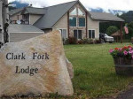
Section 8: Wallace to Clark Fork - 106 Miles
Section 8: Wallace to Clark Fork – 106 Miles
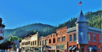
Section 8 begins in the Silver Capital of the world: Wallace, Idaho. Every building in downtown Wallace is on the National Register of Historic Places which is why I-90 had to be built above the town instead of going through it.
The ride north from here winds along mellow forest roads, with stunning canopy of pine trees and ample opportunities for camping. Take a spin up to the Grizzly Mountain summit for a great viewpoint before continuing north to the charming town of Clark Fork. HEADS UP! This is Grizzly Bear country so camp accordingly.
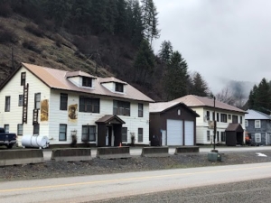
Section 9: Clark Fork to Canada - 102 Miles
Section 9: Clark Fork to Canada – 102 Miles
There are only a handful of dirt road options in this narrow strip of land between Washington and Idaho so expect a bit of pavement which may be welcome at this point in your journey.
Just out of Clark Fork you’ll head up Lightning Creek Road towards the Kaniksu National Forest. Stop at Char Falls for a short hike – just a few minutes and well worth the photo opportunity. Lunch Peak Fire Lookout is also on the way and well worth the side trip. You’ll alternate between dirt and pavement on your north route past the Kootenai National Wildlife Refuge as you meander to the Canadian border at the small town of Porthill, ID.

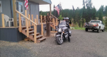
 Food/Camping/Hotel/Showers/Laundry.
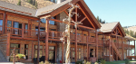
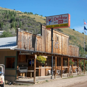
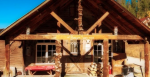
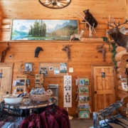
 Haven Hot Springs is a small resort with hotel rooms, a cafe, and gas pumps. More lodging options can be found down the canyon at Lowman
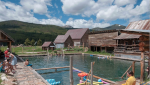
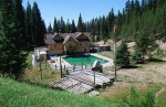
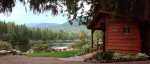
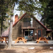 A short side trip leads to North Shore Lodge where you’ll find a lakeside resort with cabins and a restaurant. The national forest provides a campground and a day-use sandy beach too.
 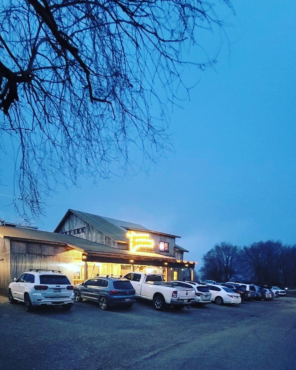 The Challis Roadhouse is a restaurant, bar, motel and pizzeria complex located in a rural community of 1,000 residents that swells in the summer due to tourism and recreation opportunities. Challis is home to the beautiful Salmon river, with steelhead fishing opportunities and river rafting opportunities.
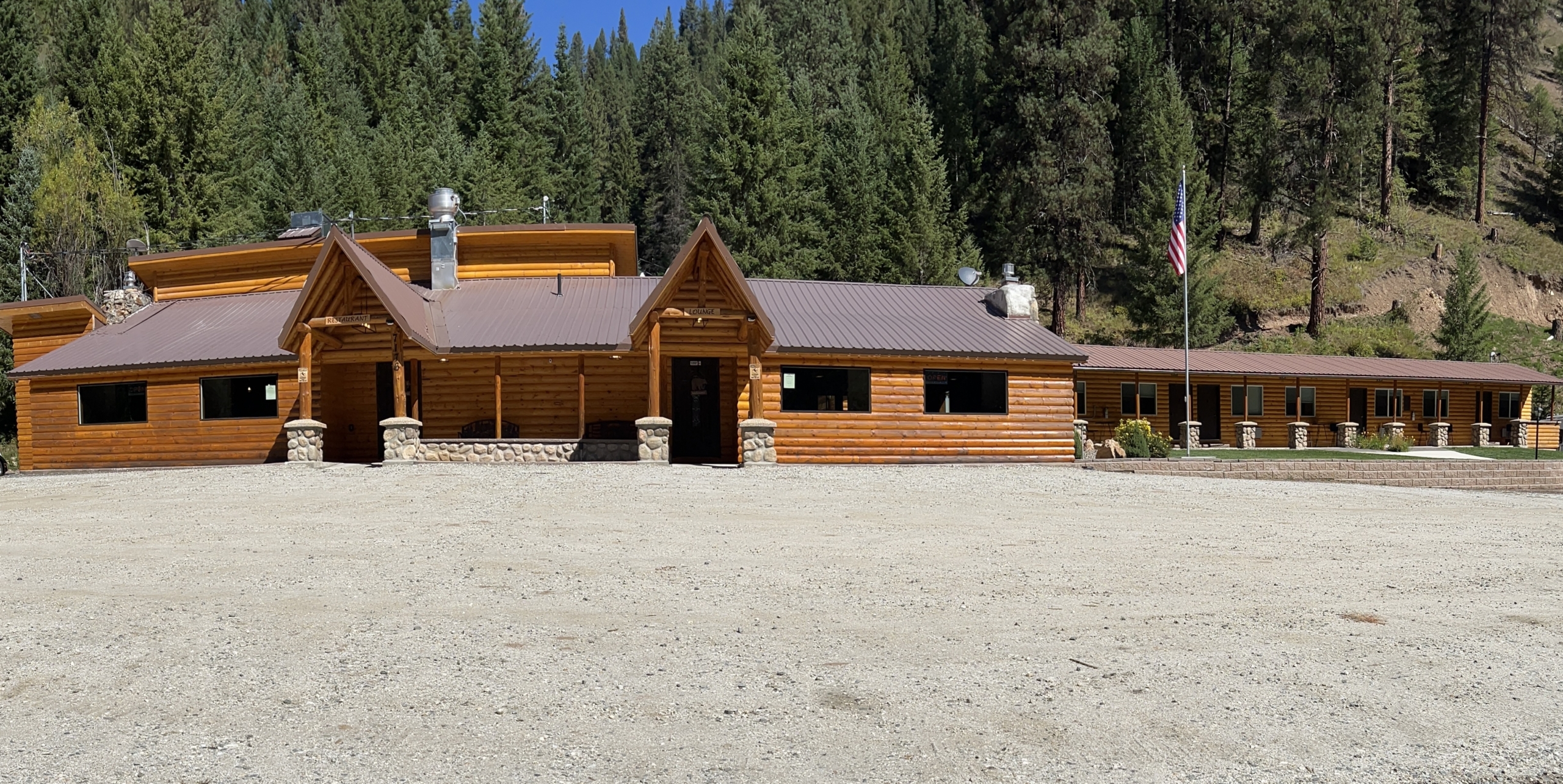
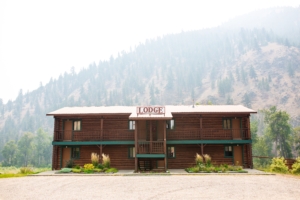
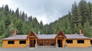
 Lochsa Lodge has gas, a store, a restaurant, cabins, a hotel, and a campground. You’ll need to fuel up here before or after tackling the Lolo Motorway.
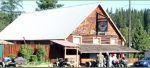
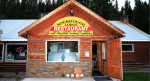
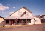
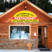 Sourdough is just off the main track but they have a comfortable hotel with a restaurant and gas station.
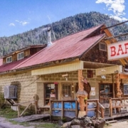 Food and beer throughout the summer. Also have high octane fuel, supplies and wi-fi. Can be contacted for conditions.
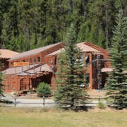
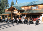
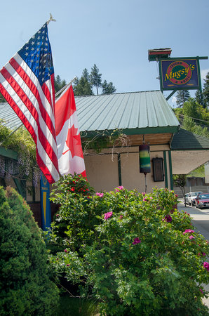 We all need a place to relax after work, so why not do it with a drink in your hand? Join us for Happy Hour Monday- Thursday 4-6!


